

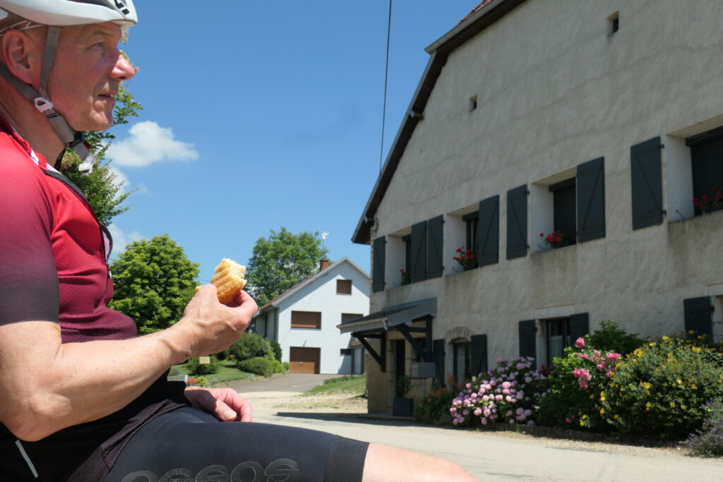
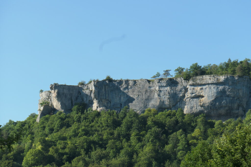
On wavy roads- not even hilly – I collected more altitude meters than intended. But far from traffic and nevertheless in best condition they were worthwhile to be rode on. On the search of a camping site the stage end had a long tail.
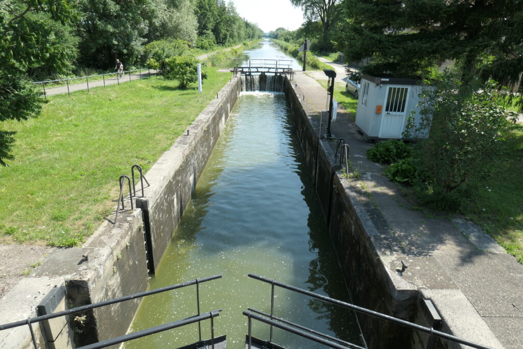
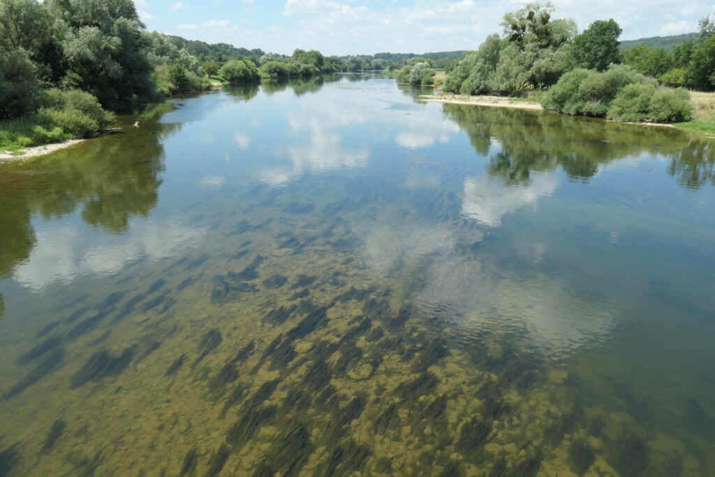
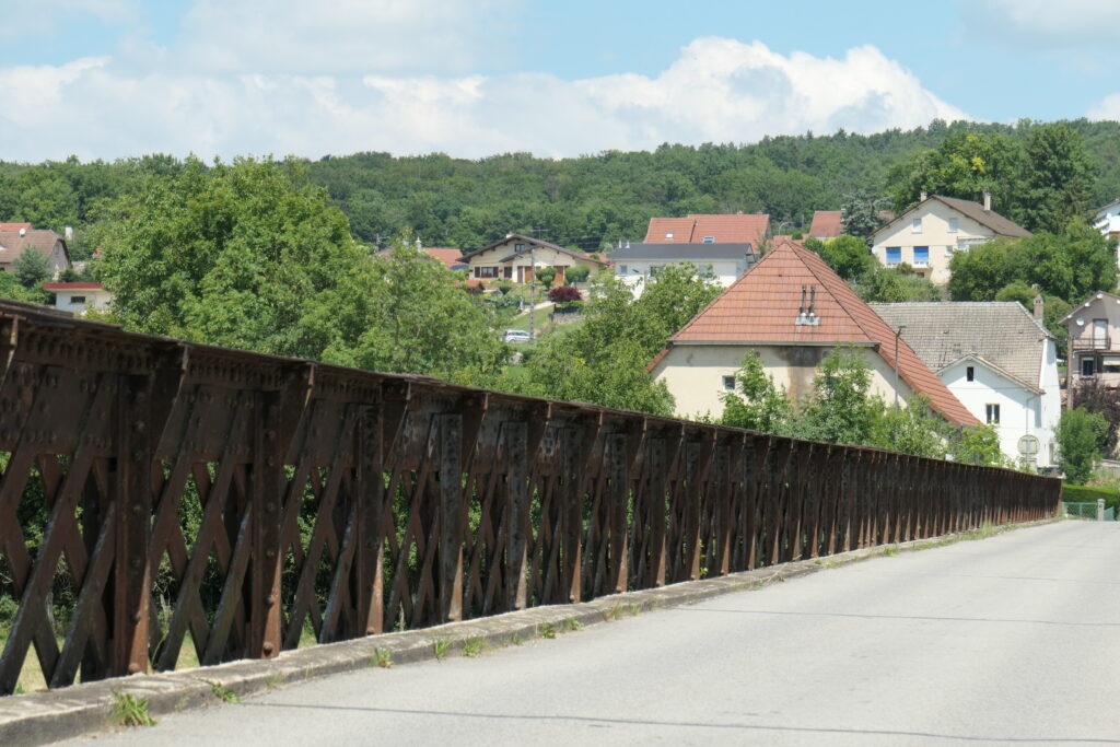
Route: Start Burnhaupt camping – Montreux chateau – Froidefontaine – Montbeliard – following the river Doubs with some hilly side trips – Fontain – Ornans camping
Dates: 154 km; 1220 altitude meters; 23 to 32 degrees; NE to E to N wind


Everyday waiting for the new report. Looks very picturesque today!
Sending love L.G.
Merci beaucoup!
Hallo Ulli, tolle Bilder, schöne Eindrücke und eine super Leistung. Ich folge weiter.
Liebe Grüße. Antje
Danke Antje, das sind wirklich viele intensive Eindrücke, komme fast nicht richtig vorwärts.